A complete drone operations workflow
From initial planning to post-flight reporting — streamlined and automated
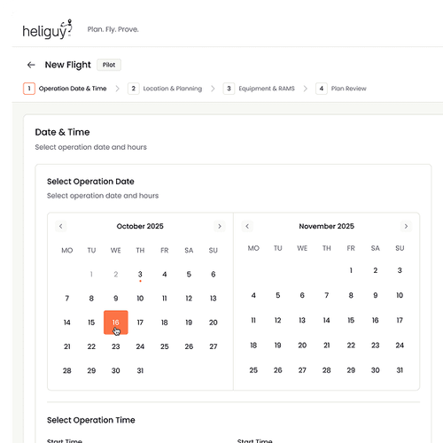
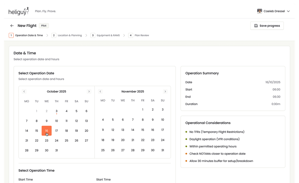
Set your mission parameters
Define your drone operation window with automatic weather and NOTAM integration for your specified period.
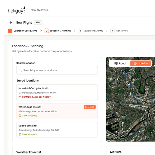
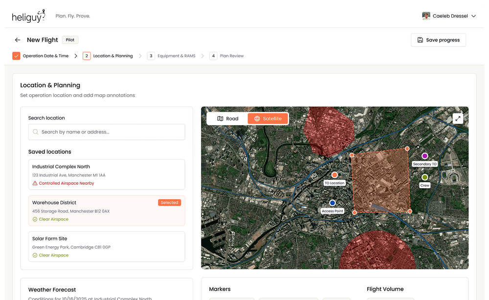
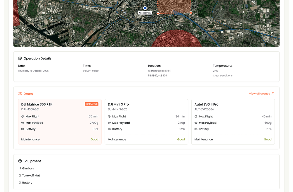
Pinpoint and plan your flight area
Search or drop a pin on an interactive map, then annotate drone flight paths, no-fly zones, and hazard areas with intuitive drawing tools.
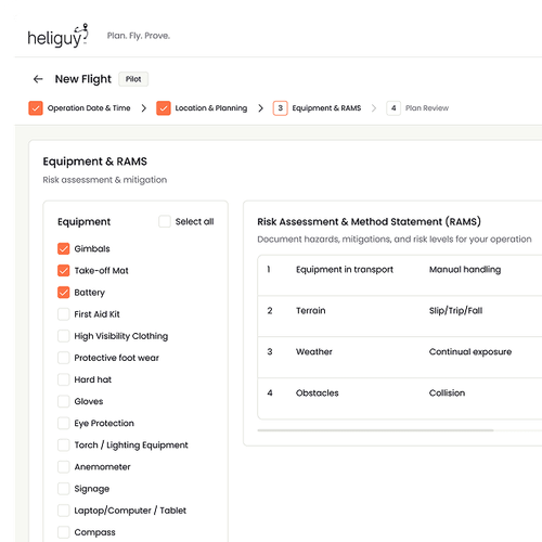
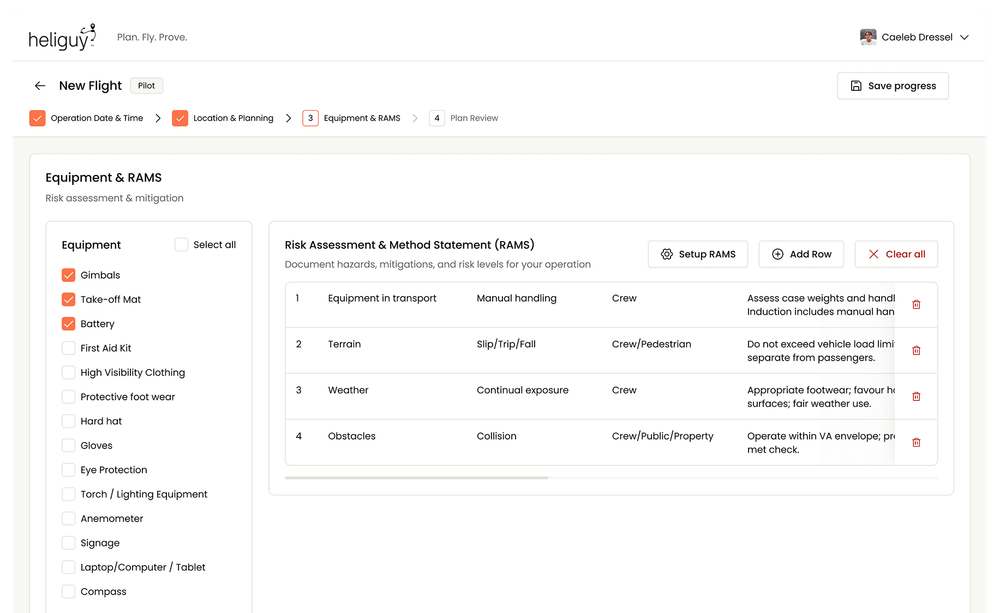
Complete risk assessment and equipment setup
Auto-populated RAMS templates with one-click mitigations based on your location and operational parameters.
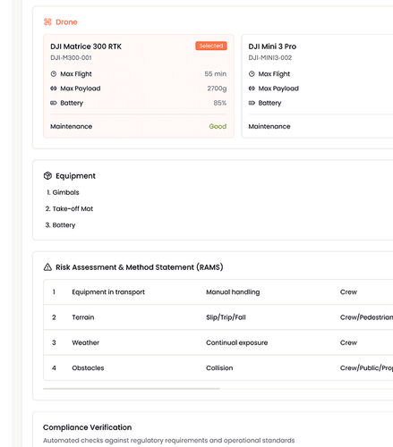
Finalise your operation pack
Review everything in one clean document and select the appropriate drone from your fleet based on the mission requirements.
Ready to make every flight audit-ready?
Join our waiting list to be among the first to explore the new platform and shape what comes next.